Greenland ice sheet aerial
1344×768 · JPG · CC BY 4.0
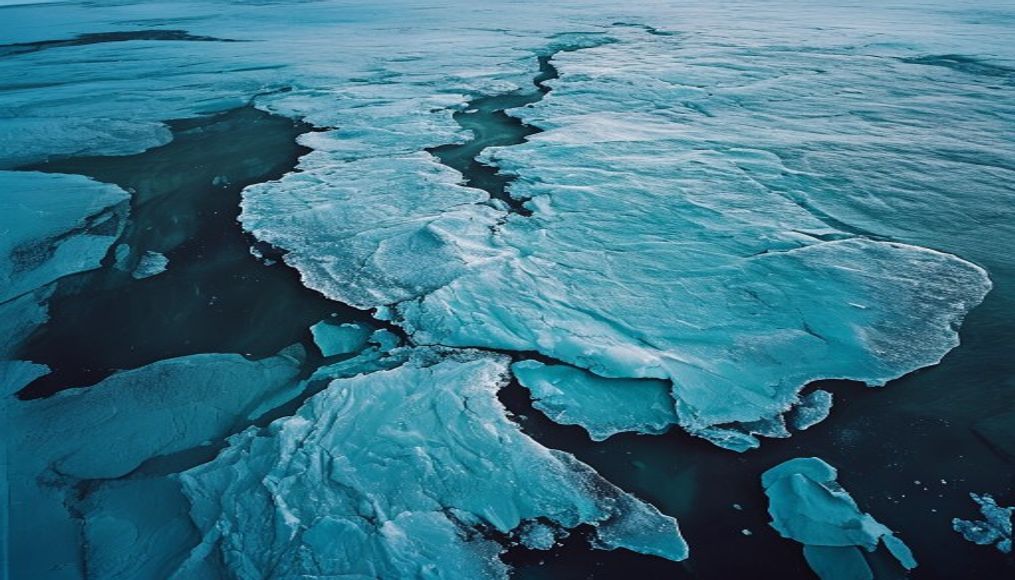
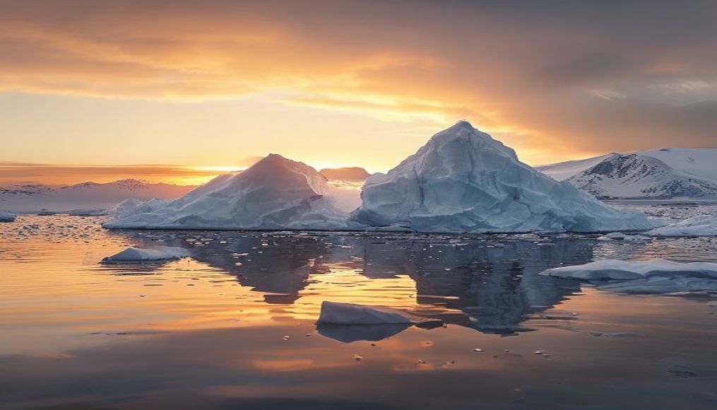
The largest ice mass in the Northern Hemisphere, the Greenland ice sheet, seen from an aerial angle, covers 1.7 million km² and holds enough water to raise sea levels by 7 meters.
About this subject
The Greenland ice sheet is the second largest ice mass on Earth, surpassed only by the Antarctic ice sheet. With an average thickness of 1.6 km and a maximum of 3 km, it covers about 80% of the island's land area. Formed over millennia by the accumulation and compaction of snow, this continental glacier plays a crucial role in the global climate system.
Accelerated melting observed in recent decades is directly linked to global warming. Studies by the Greenland Ice Sheet Monitoring Service (PROMICE) indicate that mass loss has doubled since 2000, significantly contributing to sea level rise. In 2019, the island lost about 532 billion tons of ice, a record. Surface runoff and basal melting, driven by supraglacial lakes and water channels, accelerate this process.
The ice sheet's surface is not uniform: it features plateaus, valleys, and buried mountain ranges. During summer, huge blue lakes form on the ice, which can drain rapidly to the base, lubricating the bedrock and increasing glacier flow speed. This phenomenon is intensely researched, as climate models must incorporate it to accurately predict future ocean levels. The region also hosts the EastGRIP project, which drills into the ice to study past climate.
Culturally, the ice sheet is vital for Inuit communities, who traditionally rely on sea ice for hunting and transportation. However, glacier retreat and disappearing frozen fjords threaten this way of life. Greenland, an autonomous Danish territory, sees both risks and opportunities in climate change, such as opening new shipping routes and access to mineral resources. Yet the fate of the ice sheet remains uncertain: if global warming exceeds 2°C, total loss may become inevitable over centuries.
Frequently Asked Questions
What is the average thickness of the Greenland ice sheet?
The average thickness is 1.6 km, reaching up to 3 km in some places. That is equivalent to stacking about 530 Eiffel Towers on top of each other.
How much does Greenland melting contribute to sea level rise?
Currently, Greenland contributes about 0.7 mm per year to global sea level rise. If it melted completely, sea levels would rise by approximately 7 meters.
What are supraglacial lakes on Greenland?
These are lakes that form on the ice surface during summer from melting snow. They can be several kilometers wide and drain rapidly to the glacier base, speeding up its movement.
Direct URL
https://pub-c7d6a6ea828543ac903a74a341ccb2e1.r2.dev/imagens/greenland-ice-sheet-aerial-aerial-drone-shot-p4.jpgHow to credit
Include a visible link back to UtilizAí. Copy one of the snippets below:
<a href="https://xn--utiliza-eza.com/en/midia/imagens/greenland-ice-sheet-aerial-aerial-drone-shot-p4">Greenland ice sheet aerial</a> by <a href="https://xn--utiliza-eza.com">UtilizAí</a>, licensed under <a href="https://creativecommons.org/licenses/by/4.0/">CC BY 4.0</a>.
[Greenland ice sheet aerial](https://xn--utiliza-eza.com/en/midia/imagens/greenland-ice-sheet-aerial-aerial-drone-shot-p4) by [UtilizAí](https://xn--utiliza-eza.com), CC BY 4.0
License: CC-BY-4.0