Compass map outdoor
1344×768 · AVIF · CC BY 4.0

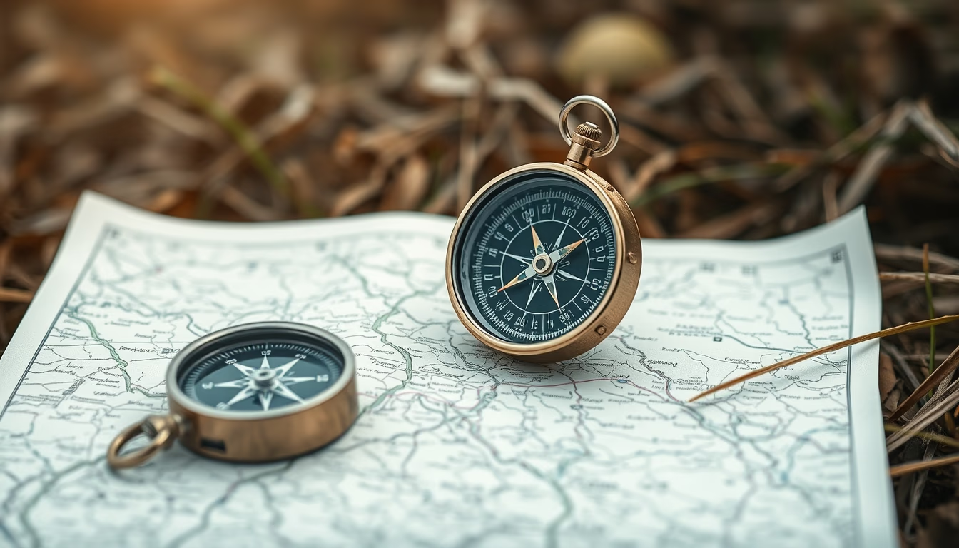
The compass and map are essential tools for land navigation, combining ancient tradition with modern orientation techniques.
About this subject
The compass, invented in China during the Han Dynasty (2nd century BC), revolutionized human exploration by enabling determination of magnetic north. Originally made from magnetite, it evolved into the modern design with a magnetized needle over a rotating dial. Maps, in turn, graphically represent terrain and have been used for millennia: the earliest date from Mesopotamia (c. 2300 BC) on clay tablets. Together, compass and map form the basic land navigation kit, still relevant even in the GPS era because they do not rely on batteries or satellite signals.
In outdoor environments, such as trails and expeditions, knowing how to use a compass and map is a crucial survival skill. The technique involves aligning the direction arrow with magnetic north and plotting azimuths to follow routes. Different map types serve specific needs: topographic maps show relief through contour lines; trail maps highlight paths and points of interest. In Brazil, the Brazilian Institute of Geography and Statistics (IBGE) produces topographic charts at scales like 1:50,000 and 1:100,000, widely used by adventurers.
Fun facts: magnetic declination (the difference between magnetic north and true north) varies by location and year, requiring periodic map updates. In 2020, the World Magnetic Model (WMM) was updated to correct deviations. Additionally, liquid-filled compasses (with oil or alcohol) dampen the needle, ensuring stable readings even in motion. Practicing orientation with map and compass in familiar areas builds confidence and reduces risks in real emergency situations.
Frequently Asked Questions
What is the difference between magnetic north and true north?
Magnetic north is the point the compass needle points to, determined by Earth's magnetic field. True north (geographic north) is the North Pole, the planet's rotation axis. The angular difference between them is called magnetic declination and varies by location and time.
How to use a topographic map with a compass?
First, align the map with true north (adjusting for magnetic declination). Then place the compass on the map, rotate the bezel until the direction arrow points to map north. Rotate your body until the needle aligns with the north marking on the bezel. The path indicated by the direction arrow is your route.
Can a compass be affected by metal objects?
Yes, iron, steel, electronics, and electrical sources (like high-voltage wires) can deflect the needle. Therefore, keep the compass away from phones, watches, knives, and backpacks with metal frames while using it.
Direct URL
https://pub-c7d6a6ea828543ac903a74a341ccb2e1.r2.dev/imagens/compass-map-outdoor-studio-editorial-portrait-fresh15.avifHow to credit
Include a visible link back to UtilizAí. Copy one of the snippets below:
<a href="https://xn--utiliza-eza.com/en/midia/imagens/compass-map-outdoor-studio-editorial-portrait-fresh15">Compass map outdoor</a> by <a href="https://xn--utiliza-eza.com">UtilizAí</a>, licensed under <a href="https://creativecommons.org/licenses/by/4.0/">CC BY 4.0</a>.
[Compass map outdoor](https://xn--utiliza-eza.com/en/midia/imagens/compass-map-outdoor-studio-editorial-portrait-fresh15) by [UtilizAí](https://xn--utiliza-eza.com), CC BY 4.0
License: CC-BY-4.0