Compass map outdoor
1344×768 · AVIF · CC BY 4.0
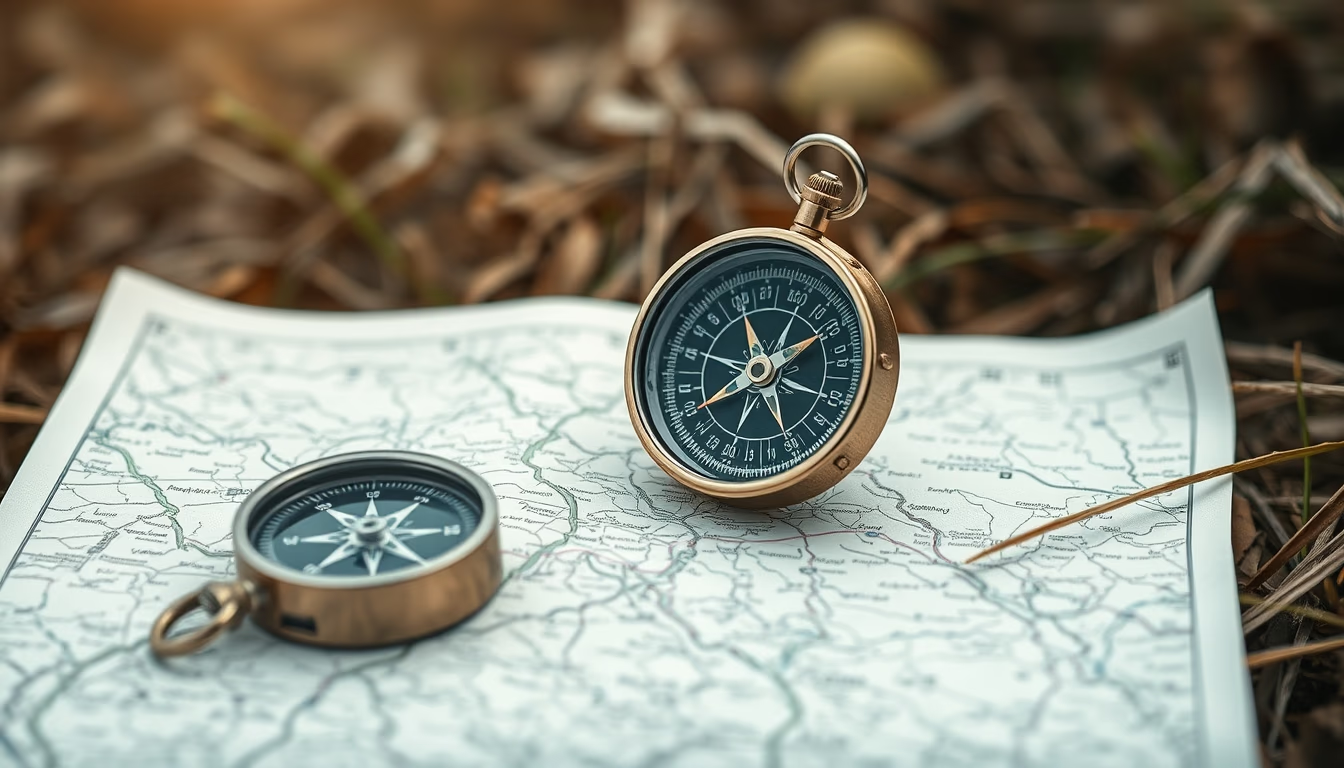
A compass and map are essential tools for land navigation in outdoor survival and adventure activities.
About this subject
The combination of a compass and a map is fundamental for land navigation in wilderness environments. The magnetic compass, invented in ancient China during the Han dynasty (2nd century BC), points to the Earth's magnetic north, enabling users to determine directions even without sunlight or stars. Topographic maps, such as those from the USGS, represent terrain relief and natural or man-made landmarks, essential for route planning.
In survival situations, reading a map and using a compass can prevent disorientation and increase rescue chances. Techniques like triangulation allow locating one's position using two or more visible reference points. In the United States, these tools are common in activities like hiking in national parks, backpacking in the Rockies, and military exercises.
Interestingly, the compass is affected by magnetic declination, the difference between magnetic north and true north, which varies by location. For instance, in the continental US, declination ranges from about 10° east to 20° west. Maps typically indicate this correction; ignoring it can lead to significant route deviations.
Today, GPS apps have partly replaced these instruments, but experts recommend always carrying a physical compass and map as backup, since electronic devices can fail due to dead batteries or signal loss. Organizations like the Boy Scouts of America and wilderness survival schools regularly teach land navigation courses.
Frequently Asked Questions
What is the difference between magnetic north and true north?
Magnetic north is where the compass needle points, located near the geographic North Pole but constantly shifting. True north is the fixed geographic North Pole. The angular difference is called magnetic declination and varies by location.
How do you use a compass and map to locate yourself?
First, orient the map by aligning map north with compass north. Then identify two or three landmarks visible on the ground and on the map. Use the compass to measure the azimuth of each landmark and draw lines on the map; the intersection is your position (triangulation).
Why still use a compass and map when GPS exists?
GPS relies on batteries and satellite signals, which can fail in remote areas, under dense tree cover, or in bad weather. A compass and map are reliable, need no electricity, and always work, making them essential backups.
Direct URL
https://pub-c7d6a6ea828543ac903a74a341ccb2e1.r2.dev/imagens/compass-map-outdoor-minimalist-composition-fresh18.avifHow to credit
Include a visible link back to UtilizAí. Copy one of the snippets below:
<a href="https://xn--utiliza-eza.com/en/midia/imagens/compass-map-outdoor-minimalist-composition-fresh18">Compass map outdoor</a> by <a href="https://xn--utiliza-eza.com">UtilizAí</a>, licensed under <a href="https://creativecommons.org/licenses/by/4.0/">CC BY 4.0</a>.
[Compass map outdoor](https://xn--utiliza-eza.com/en/midia/imagens/compass-map-outdoor-minimalist-composition-fresh18) by [UtilizAí](https://xn--utiliza-eza.com), CC BY 4.0
License: CC-BY-4.0