Compass map outdoor
1344×768 · AVIF · CC BY 4.0
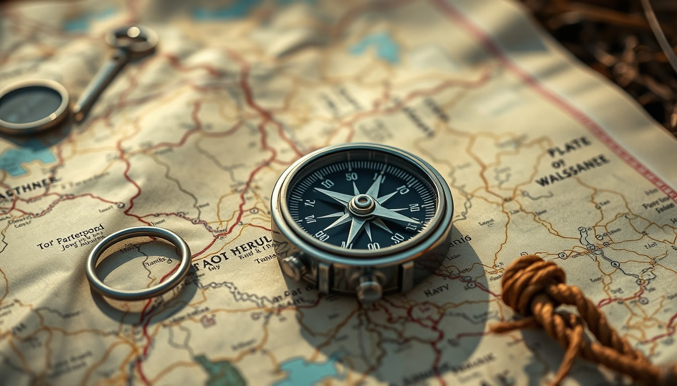
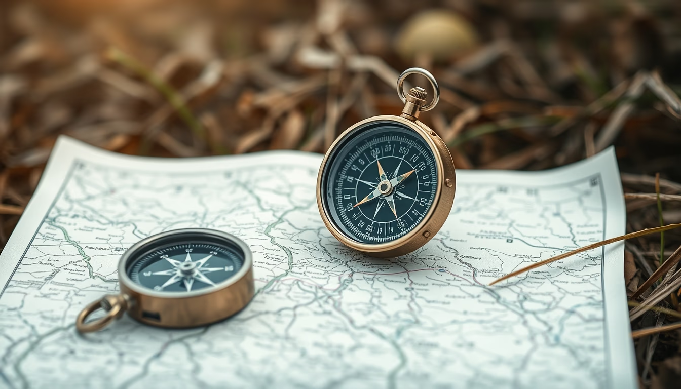
Compass and map are essential outdoor navigation tools, providing accurate orientation even without digital technology.
About this subject
The combination of compass and map is fundamental for navigation in natural environments, especially in remote areas where GPS signals may fail. The compass, invented in China during the Han dynasty (around 200 BC), uses the Earth's magnetic field to indicate magnetic north. The topographic map, with contour lines and landmarks, allows route planning and obstacle avoidance. Together, they form a reliable orientation system for centuries.
In Brazil, these instruments are commonly used in activities such as trekking in Chapada Diamantina, expeditions in the Amazon, and climbing in Serra dos Órgãos National Park. Correct map reading requires knowledge of cartographic symbols and the ability to measure distances using the compass's ruler. Techniques like triangulation help determine exact location when two or more known points are sighted.
Even with the popularity of GPS devices, many adventurers carry a compass and map as a backup due to their reliability in adverse conditions, dead batteries, broken screens, or lack of coverage. Learning to use them develops terrain observation skills and a sense of direction. Survival and orientation courses teach from basics to advanced techniques, such as magnetic declination and night navigation.
Interesting fact: the oldest known compass dates from the 11th century in China and was used for maritime navigation. Modern compasses include acrylic bases with precise scales and damping liquid to stabilize the needle. Topographic maps from IBGE in Brazil are periodically updated and available digitally, but printed versions are still preferred in long expeditions.
Frequently Asked Questions
How do you use a compass and map together for navigation?
First, align the map with the compass north. Rotate the map until the north lines on the map match the compass needle. Then, identify two landmarks on the terrain and on the map to perform triangulation.
What is the difference between magnetic north and true north?
Magnetic north is where the compass needle points, which changes over time. True north is the geographic North Pole. The difference is called magnetic declination and must be adjusted during navigation.
Do I need to know how to use a compass if I have a GPS?
Yes, because electronic devices can fail due to dead batteries, damage, or signal loss. The compass and map are independent of power and always work, making them essential in survival situations.
Direct URL
https://pub-c7d6a6ea828543ac903a74a341ccb2e1.r2.dev/imagens/compass-map-outdoor-magazine-editorial-fresh0.avifHow to credit
Include a visible link back to UtilizAí. Copy one of the snippets below:
<a href="https://xn--utiliza-eza.com/en/midia/imagens/compass-map-outdoor-magazine-editorial-fresh0">Compass map outdoor</a> by <a href="https://xn--utiliza-eza.com">UtilizAí</a>, licensed under <a href="https://creativecommons.org/licenses/by/4.0/">CC BY 4.0</a>.
[Compass map outdoor](https://xn--utiliza-eza.com/en/midia/imagens/compass-map-outdoor-magazine-editorial-fresh0) by [UtilizAí](https://xn--utiliza-eza.com), CC BY 4.0
License: CC-BY-4.0