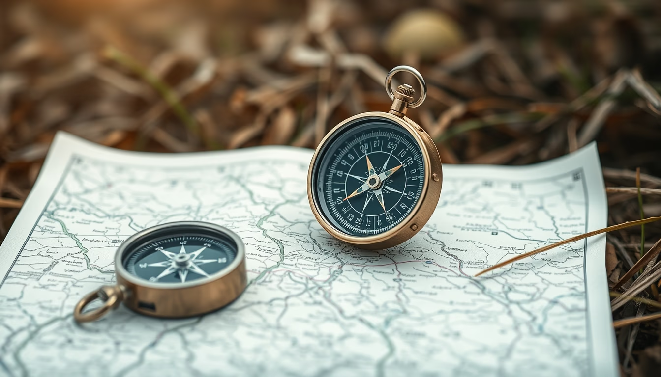
Compass map outdoor
1344×768 · AVIF · CC BY 4.0
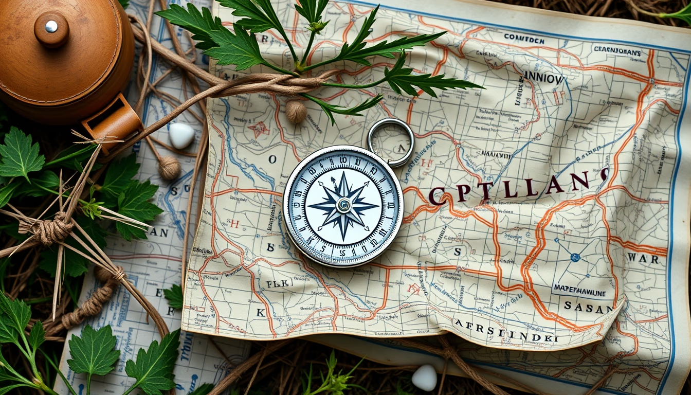
Maps and compasses are essential tools for outdoor navigation, especially in survival and orienteering activities. This guide explores their use, history and importance.
About this subject
Land navigation with map and compass is a fundamental skill for any adventurer. Unlike electronic devices, these instruments do not rely on battery or GPS signal, making them reliable in any remote environment. The magnetic compass, invented in ancient China around the 11th century, uses the Earth's magnetic field to indicate magnetic north. Combined with a topographic map, it allows locating landmarks, calculating distances, and plotting precise routes.
In survival situations, knowing how to use a map and compass can mean the difference between getting lost or finding shelter. Techniques such as triangulation, magnetic declination, and reading contour lines are taught in orienteering and military courses. Regular practice in varied terrains develops spatial awareness and confidence to navigate without technology.
Today, many outdoor enthusiasts like hikers, hunters, and geocachers still prefer printed maps and analog compasses for their simplicity and durability. Moreover, learning traditional navigation is an exercise in autonomy and respect for the environment, reducing reliance on smartphones that may fail in isolated areas.
Interestingly, the pocket compass and folded maps have been part of exploration iconography since the Age of Discovery. Today, digital maps dominate, but collectors and bushcraft practitioners keep the tradition of paper maps alive, offering a panoramic view that a small screen cannot reproduce.
Frequently Asked Questions
How to use a compass and map together?
First, orient the map with the compass by aligning the map's north to the magnetic north indicated by the needle. Then, identify two landmarks on the ground and on the map to determine your position by triangulation. Practice in familiar areas before remote adventures.
What is the difference between a magnetic compass and GPS?
The magnetic compass points to magnetic north using the Earth's magnetic field, without needing batteries or signal. GPS relies on satellites for precise coordinates but depends on power and signal, which may fail in dense forests or canyons.
Why is learning traditional navigation still important?
In emergencies, electronics can break or run out of battery. Knowing how to read a map and use a compass ensures full autonomy anywhere. Additionally, it develops a sense of direction and connection with the natural environment, valuing skills lost in the digital age.
Direct URL
https://pub-c7d6a6ea828543ac903a74a341ccb2e1.r2.dev/imagens/compass-map-outdoor-isometric-flat-lay-fresh9.avifHow to credit
Include a visible link back to UtilizAí. Copy one of the snippets below:
<a href="https://xn--utiliza-eza.com/en/midia/imagens/compass-map-outdoor-isometric-flat-lay-fresh9">Compass map outdoor</a> by <a href="https://xn--utiliza-eza.com">UtilizAí</a>, licensed under <a href="https://creativecommons.org/licenses/by/4.0/">CC BY 4.0</a>.
[Compass map outdoor](https://xn--utiliza-eza.com/en/midia/imagens/compass-map-outdoor-isometric-flat-lay-fresh9) by [UtilizAí](https://xn--utiliza-eza.com), CC BY 4.0
License: CC-BY-4.0