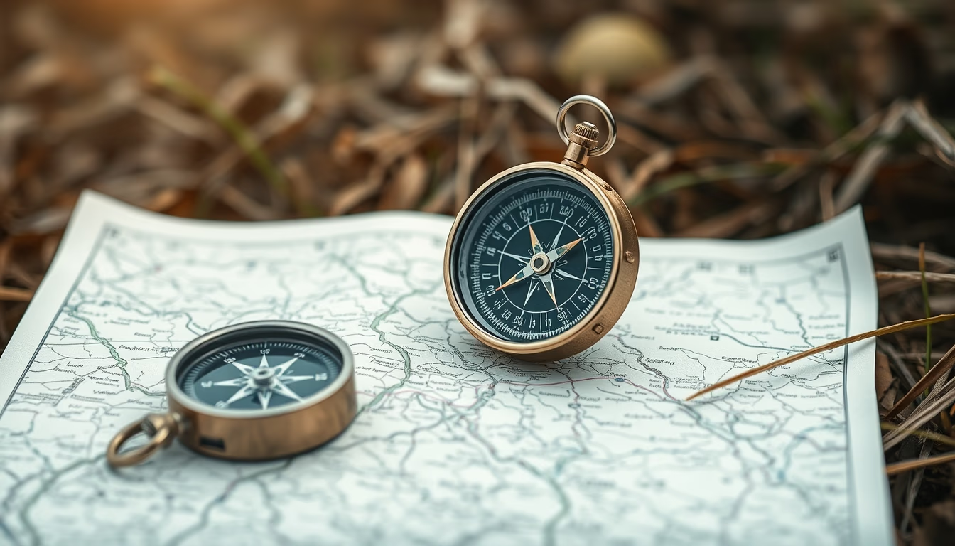
Compass map outdoor
1344×768 · AVIF · CC BY 4.0
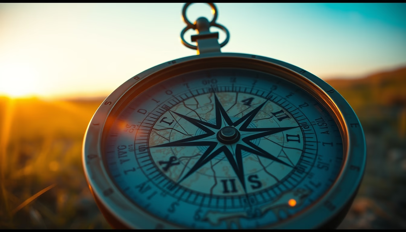
Compass and map are essential tools for land navigation, especially in survival and outdoor exploration activities.
About this subject
The combination of compass and map is one of the oldest and most reliable methods of land navigation. While the map provides a two-dimensional representation of the terrain, the magnetic compass indicates the direction of magnetic north, allowing the user to orient the map and plot precise routes. This technique, known as map-and-compass navigation, is fundamental in survival activities, mountaineering, trekking, and expeditions in remote areas without GPS signal.
Historically, the compass was invented in China during the Han dynasty, around the 2nd century BC, initially used for divination and later for maritime navigation. The map, in turn, evolved from simple cave drawings to sophisticated topographic charts. The integration of these two tools became standard for explorers such as the navigators of the Age of Discovery and, later, for military personnel and adventurers. Nowadays, even with GPS technology, maps and compasses remain indispensable as robust backups, as they do not depend on batteries or satellite signals.
In a survival context, knowing how to properly use a compass and map can mean the difference between finding shelter and food or getting lost. Techniques such as triangulation, which uses landmarks on the map and azimuth readings, allow one to locate the exact position on the terrain. Reading contour lines on topographic maps helps identify slopes, water sources, and possible escape routes. Additionally, the baseplate compass (transparent type) is the most common for outdoor activities, as it facilitates measuring angles directly on the map.
A curious fact: magnetic declination, the difference between magnetic north and true north, varies by geographic location and over time. Therefore, updated maps include the declination value for that region, which must be adjusted on the compass for accurate navigation. In Brazil, for example, declination can exceed 20 degrees in some areas of the Amazon, significantly affecting routes calculated only with a compass.
Frequently Asked Questions
What is the difference between magnetic north and true north?
Magnetic north is the direction a compass needle points, influenced by Earth's magnetic field. True north (or geographic north) is the fixed point of the North Pole. The difference between them is called magnetic declination and varies by location.
How do you use a compass with a topographic map?
First, align the compass edge with a north-south grid line on the map. Rotate the compass housing until the orienting arrow points to map north. Then, hold the compass horizontally and turn your body until the magnetic needle aligns with the orienting arrow. The direction of travel arrow points to your destination.
Why is a compass still important in the age of GPS?
GPS relies on batteries and satellite signals, which can fail in remote areas, dense forests, or adverse weather. A compass never runs out of power and needs no signal, making it a reliable backup for emergency navigation.
Direct URL
https://pub-c7d6a6ea828543ac903a74a341ccb2e1.r2.dev/imagens/compass-map-outdoor-cinematic-wide-shot-fresh14.avifHow to credit
Include a visible link back to UtilizAí. Copy one of the snippets below:
<a href="https://xn--utiliza-eza.com/en/midia/imagens/compass-map-outdoor-cinematic-wide-shot-fresh14">Compass map outdoor</a> by <a href="https://xn--utiliza-eza.com">UtilizAí</a>, licensed under <a href="https://creativecommons.org/licenses/by/4.0/">CC BY 4.0</a>.
[Compass map outdoor](https://xn--utiliza-eza.com/en/midia/imagens/compass-map-outdoor-cinematic-wide-shot-fresh14) by [UtilizAí](https://xn--utiliza-eza.com), CC BY 4.0
License: CC-BY-4.0