Cargo ship horizon
1344×768 · AVIF · CC BY 4.0
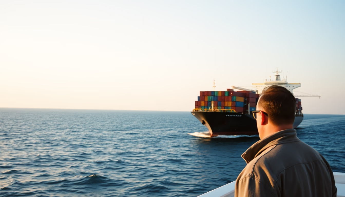
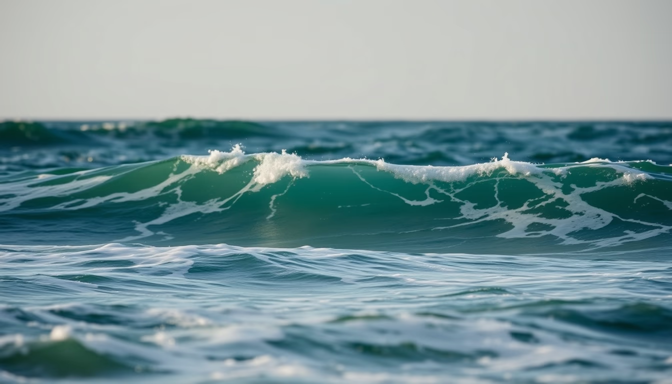
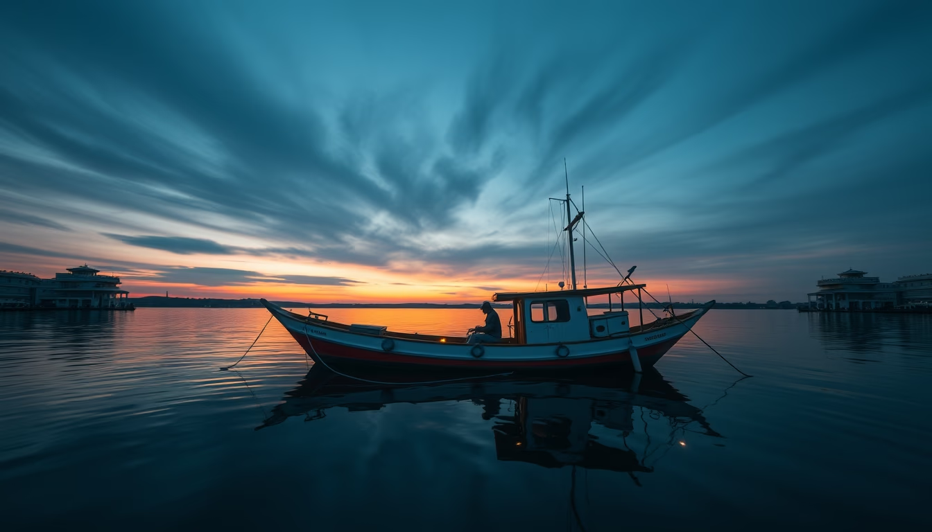
Cargo ship on the maritime horizon: a symbol of global trade and international logistics connecting continents via ocean routes.
About this subject
Maritime cargo transport is the backbone of global trade, responsible for about 80% of the volume of goods transported worldwide. Cargo ships, such as bulk carriers and container vessels, follow ocean routes established over centuries, connecting ports in Asia, Europe, the Americas, and Africa. The sight of a ship on the horizon evokes this immense logistical network, where thousands of vessels sail simultaneously, carrying everything from raw materials to finished products.
Major maritime routes include the North Atlantic crossing, the Panama Canal, and the Suez Canal, strategic points that shorten distances and reduce costs. The modern cargo ship is an engineering marvel: some of the largest container ships can carry over 20,000 TEU (twenty-foot equivalent units). These giants of the sea operate with reduced crews, using satellite navigation systems and radar to avoid collisions and maintain precise routes.
The shipping industry faces significant environmental challenges, such as greenhouse gas emissions and oil pollution. Regulations from the International Maritime Organization (IMO) push for cleaner fuels and energy-efficient technologies. Despite this, the horizon filled with ships remains a testament to global economic interdependence and humanity's ability to overcome vast oceanic distances.
Frequently Asked Questions
What is the difference between a cargo ship and a passenger ship?
Cargo ships are designed to transport goods, while passenger ships (like cruise liners and ferries) carry people. Cargo vessels have holds or decks for cargo, with minimal crew accommodations. Passenger ships prioritize comfort, leisure, and safety for a large number of individuals.
How many cargo ships are there in the world?
It is estimated that there are over 50,000 merchant ships in operation worldwide, including bulk carriers, container ships, oil tankers, and general cargo vessels. The global fleet continues to grow, driven by increasing international trade.
How do cargo ships navigate on the high seas?
They use global positioning systems (GPS), radar, electronic nautical charts, and satellite communication systems. Navigation officers follow pre-planned routes, adjusting course based on weather conditions and maritime traffic. Autopilot maintains the heading, but constant vigilance is essential.
Direct URL
https://pub-c7d6a6ea828543ac903a74a341ccb2e1.r2.dev/imagens/cargo-ship-horizon-film-grain-authentic-p6.avifHow to credit
Include a visible link back to UtilizAí. Copy one of the snippets below:
<a href="https://xn--utiliza-eza.com/en/midia/imagens/cargo-ship-horizon-film-grain-authentic-p6">Cargo ship horizon</a> by <a href="https://xn--utiliza-eza.com">UtilizAí</a>, licensed under <a href="https://creativecommons.org/licenses/by/4.0/">CC BY 4.0</a>.
[Cargo ship horizon](https://xn--utiliza-eza.com/en/midia/imagens/cargo-ship-horizon-film-grain-authentic-p6) by [UtilizAí](https://xn--utiliza-eza.com), CC BY 4.0
License: CC-BY-4.0