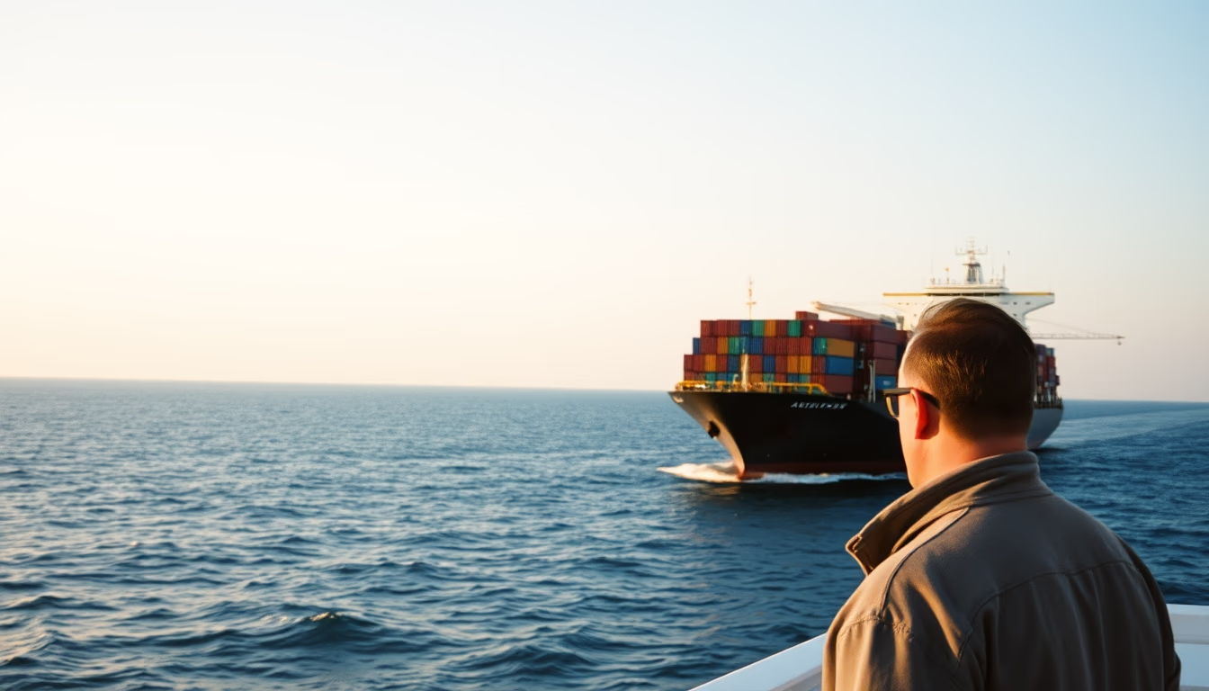
Cargo ship horizon
1344×768 · AVIF · CC BY 4.0
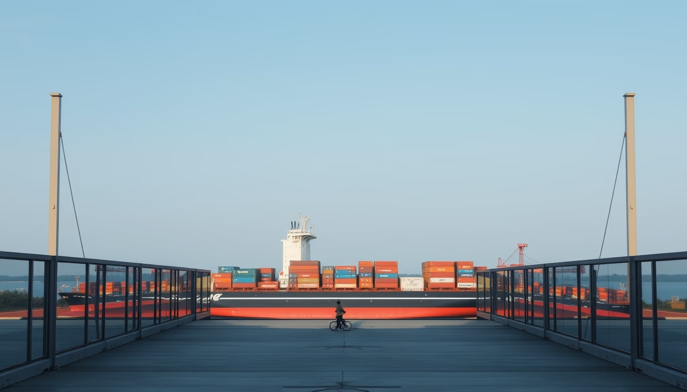
A cargo ship on the horizon represents the vital link of global trade, carrying 90% of the world's goods.
About this subject
Cargo ships are the backbone of international trade, responsible for about 90% of global goods transport. These vessels vary enormously in size, from small coastal ships to giants like the Ever Given, which is 400 meters long and can carry over 20,000 containers. The busiest route in the world connects Asia to Europe, passing through the Suez Canal, where more than 50 ships cross the narrow channel daily.
Modern shipbuilding began to take shape in the 19th century with the introduction of steam engines and steel hulls. Today, the largest shipbuilders are in China, South Korea, and Japan, which together produce over 90% of the world's ships. Economies of scale are so significant that a single container ship can carry cargo equivalent to a 100-kilometer-long line of trucks. However, maritime pollution is a challenge: large cargo ships burn heavy fuel oil, emitting sulfur oxides and carbon. The International Maritime Organization (IMO) has set targets to reduce emissions by 50% by 2050.
The sight of a ship on the horizon, seen from the sea or coast, symbolizes the connection between continents. The maritime horizon is an imaginary line where the ocean meets the sky, used for navigation since ancient times. With the advent of GPS, its visual importance has diminished, but it remains a landmark for photographers and sailors. Cargo ships often follow established routes, such as the Cape Route (around Africa) or the Panama Canal Route, depending on the destination and vessel size.
Frequently Asked Questions
What is the typical cargo capacity of a cargo ship?
Capacity varies, but an average container ship can carry between 8,000 and 18,000 TEUs (twenty-foot equivalent units). The largest Megamax class can reach 24,000 TEUs.
Why is the horizon important in navigation?
Historically, the horizon was used to determine the ship's position with instruments like the sextant. Today, while GPS is dominant, the horizon still aids in visual navigation and equipment calibration.
What are the main ports for cargo ships in Brazil?
Major ports include Santos (SP), Paranaguá (PR), Rio de Janeiro (RJ), and Itajaí (SC). Santos is the largest container terminal in Latin America.
Direct URL
https://pub-c7d6a6ea828543ac903a74a341ccb2e1.r2.dev/imagens/cargo-ship-horizon-architectural-photography-p5.avifHow to credit
Include a visible link back to UtilizAí. Copy one of the snippets below:
<a href="https://xn--utiliza-eza.com/en/midia/imagens/cargo-ship-horizon-architectural-photography-p5">Cargo ship horizon</a> by <a href="https://xn--utiliza-eza.com">UtilizAí</a>, licensed under <a href="https://creativecommons.org/licenses/by/4.0/">CC BY 4.0</a>.
[Cargo ship horizon](https://xn--utiliza-eza.com/en/midia/imagens/cargo-ship-horizon-architectural-photography-p5) by [UtilizAí](https://xn--utiliza-eza.com), CC BY 4.0
License: CC-BY-4.0