Satellite earth view atmosphere
1344×768 · AVIF · CC BY 4.0
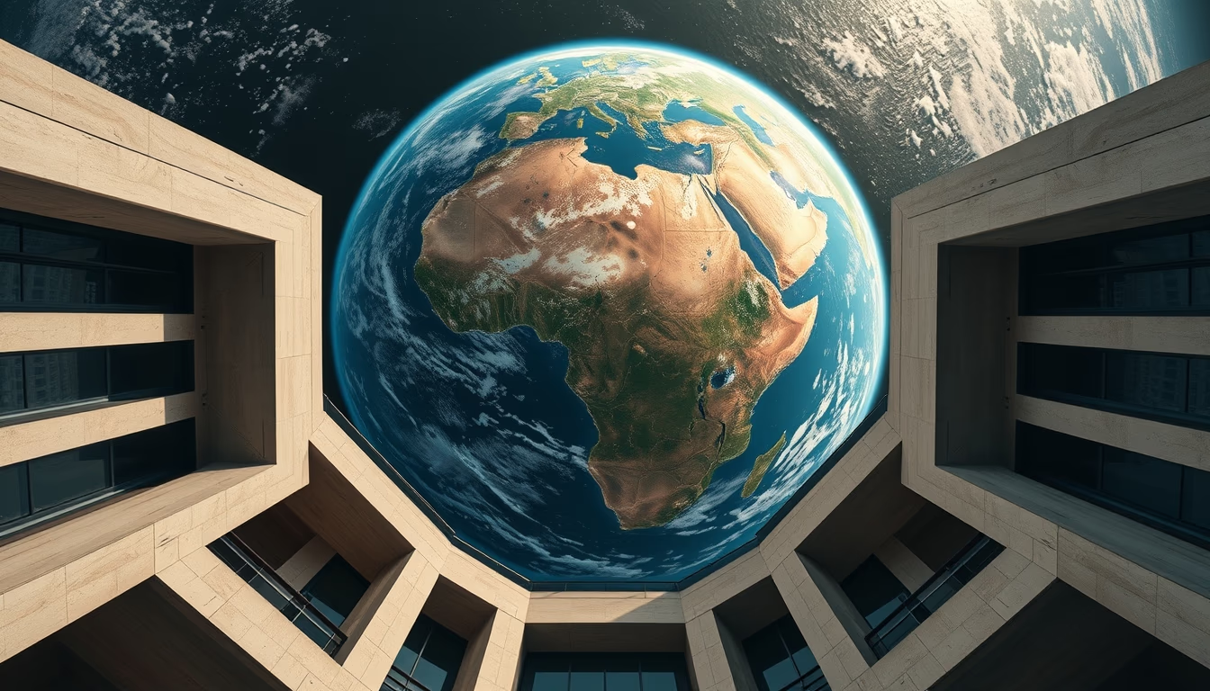
Satellite imagery reveals the complexity of Earth's atmosphere, a gaseous layer essential for life and global climate.
About this subject
Earth's atmosphere is a thin layer of gases enveloping the planet, composed primarily of nitrogen (78%) and oxygen (21%), along with argon, carbon dioxide, and water vapor. This mixture protects life from harmful solar radiation, maintains stable temperatures through the natural greenhouse effect, and allows liquid water to exist on the surface. Observation satellites, such as NOAA's GOES series or EUMETSAT's Meteosat, continuously capture images in various wavelengths, revealing cloud patterns, jet streams, cyclones, and aerosol distribution. This data is critical for weather forecasting, climate studies, and monitoring events like hurricanes and wildfires. The lowest layer, the troposphere, where most weather occurs, extends up to about 12 km altitude. Above it, the stratosphere contains the ozone layer, which absorbs ultraviolet radiation. Interestingly, the atmosphere has no definitive upper boundary; it gradually fades into space, with traces reaching hundreds of kilometers. Architectural satellite photography, as suggested by the term "architectural-photography," highlights the beauty and organized structure of atmospheric systems, transforming scientific data into visually striking images.
Frequently Asked Questions
Why is the atmosphere important for life on Earth?
The atmosphere provides oxygen for breathing, protects against ultraviolet radiation, maintains suitable temperatures, and allows liquid water to exist, making it essential for life as we know it.
How do satellites observe the atmosphere?
Satellites use sensors in different spectral bands (visible, infrared, microwave) to measure temperature, humidity, composition, and air mass movement, generating images and data for weather models.
What are 'architectural' satellite images?
These images highlight structural patterns and aesthetics of the atmosphere, such as cloud systems and fronts, with emphasis on visual composition, similar to architectural photography, revealing the beauty of natural processes.
Direct URL
https://pub-c7d6a6ea828543ac903a74a341ccb2e1.r2.dev/imagens/satellite-earth-view-atmosphere-architectural-photography-fresh9.avifHow to credit
Include a visible link back to UtilizAí. Copy one of the snippets below:
<a href="https://xn--utiliza-eza.com/en/midia/imagens/satellite-earth-view-atmosphere-architectural-photography-fresh9">Satellite earth view atmosphere</a> by <a href="https://xn--utiliza-eza.com">UtilizAí</a>, licensed under <a href="https://creativecommons.org/licenses/by/4.0/">CC BY 4.0</a>.
[Satellite earth view atmosphere](https://xn--utiliza-eza.com/en/midia/imagens/satellite-earth-view-atmosphere-architectural-photography-fresh9) by [UtilizAí](https://xn--utiliza-eza.com), CC BY 4.0
License: CC-BY-4.0





