Hurricane spiral satellite
1344×768 · AVIF · CC BY 4.0
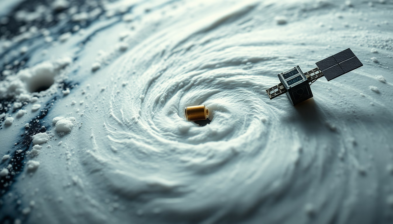
A satellite image reveals the spiral structure of a hurricane, a meteorological phenomenon typical of warm ocean waters.
About this subject
Hurricanes, also called tropical cyclones in other basins, are low-pressure systems that form over ocean waters warmer than 26°C. The thermal energy evaporated from the sea surface fuels thunderstorm clouds, which organize into spiral bands around a calm center known as the eye. This characteristic spiral pattern is visible in satellite images captured by orbital sensors hundreds of kilometers above.
The formation requires specific conditions: Earth's rotation (Coriolis effect), low wind shear, and high humidity in the troposphere. Hurricanes are ranked on the Saffir-Simpson scale from 1 to 5 based on sustained wind speeds. A category 5 hurricane, such as Hurricane Katrina (2005) or Hurricane Maria (2017), can produce winds over 252 km/h and devastate coastal areas with storm surges and torrential rainfall.
Meteorological satellites, such as the GOES series (United States) and Meteosat (Europe), play a crucial role in early detection and continuous monitoring of these systems. Visible and infrared imagery allow estimation of intensity, eye diameter, cloud-top temperature, and projected track. Satellite data feed numerical weather prediction models, which guide warnings and evacuations, saving lives.
Interesting fact: a hurricane's eye can range from a few kilometers to over 50 km in diameter. Inside it, air descends, warming and clearing clouds, providing brief calm before the eyewall passes, where the most severe conditions occur. The spiral shape results from the combination of system rotation and moisture convergence toward the center.
Frequently Asked Questions
How does a hurricane form?
Hurricanes form over warm ocean waters (above 26°C) when evaporation fuels thunderstorms that organize around a low-pressure center. Earth's rotation and low wind shear are key factors.
Why do hurricanes have a spiral shape?
The spiral shape results from the system's rotation (Coriolis effect) combined with moist air converging toward the center. Thunderstorm clouds align in bands that spiral around the eye.
What is the importance of satellites in hurricane monitoring?
Satellites provide critical data on location, intensity, eye size, and track. This information feeds forecast models and enables timely warnings, reducing risks to life and property.
Direct URL
https://pub-c7d6a6ea828543ac903a74a341ccb2e1.r2.dev/imagens/hurricane-spiral-satellite-macro-closeup-fresh1.avifHow to credit
Include a visible link back to UtilizAí. Copy one of the snippets below:
<a href="https://xn--utiliza-eza.com/en/midia/imagens/hurricane-spiral-satellite-macro-closeup-fresh1">Hurricane spiral satellite</a> by <a href="https://xn--utiliza-eza.com">UtilizAí</a>, licensed under <a href="https://creativecommons.org/licenses/by/4.0/">CC BY 4.0</a>.
[Hurricane spiral satellite](https://xn--utiliza-eza.com/en/midia/imagens/hurricane-spiral-satellite-macro-closeup-fresh1) by [UtilizAí](https://xn--utiliza-eza.com), CC BY 4.0
License: CC-BY-4.0





