Hurricane spiral satellite
1344×768 · AVIF · CC BY 4.0
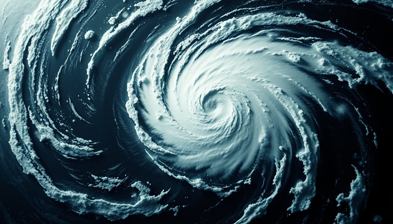
Hurricanes are intense tropical storms with violent winds and torrential rainfall, monitored by meteorological satellites that capture detailed images of their spiral structure.
About this subject
A hurricane is a low-pressure atmospheric system that forms over warm ocean waters, characterized by a spiral cloud structure around a central calm eye. The eye of a hurricane can be 30 to 60 km in diameter, surrounded by the eyewall where the most intense winds occur. Spiral rainbands extend hundreds of kilometers, causing heavy rainfall and flooding. The Saffir-Simpson scale classifies hurricanes from 1 to 5 based on wind speed: a Category 5 hurricane has winds over 252 km/h. Hurricanes are monitored by geostationary satellites, such as GOES-16, which provide images every 5 to 15 minutes in multiple wavelengths. Satellite data allow forecasters to predict a hurricane's track and intensity up to 5 days in advance, saving lives through early warnings. The Atlantic hurricane season runs from June to November, with peak activity from August to October. Notable hurricanes include Katrina (2005), which devastated New Orleans, and Irma (2017), which hit the Caribbean and Florida. Satellites also measure sea surface temperature and wave height, crucial factors for hurricane formation and intensification.
Frequently Asked Questions
How do hurricanes form?
Hurricanes form over ocean waters with temperatures above 26°C. Warm, moist air rises, creating a low-pressure area. The Earth's rotation causes the system to spin, forming the characteristic spiral structure. The energy is fueled by evaporation of seawater.
What is the difference between a hurricane, typhoon, and cyclone?
These are regional names for the same phenomenon: hurricane in the Atlantic and Northeast Pacific, typhoon in the Northwest Pacific, and cyclone in the Indian and South Pacific Oceans. All are tropical cyclones with sustained winds above 119 km/h.
How do satellites help in hurricane forecasting?
Weather satellites provide real-time images of cloud structure, measure cloud-top temperature and sea surface temperature. This data is used in forecast models to estimate the hurricane's track and intensity with greater accuracy.
Direct URL
https://pub-c7d6a6ea828543ac903a74a341ccb2e1.r2.dev/imagens/hurricane-spiral-satellite-film-grain-authentic-fresh9.avifHow to credit
Include a visible link back to UtilizAí. Copy one of the snippets below:
<a href="https://xn--utiliza-eza.com/en/midia/imagens/hurricane-spiral-satellite-film-grain-authentic-fresh9">Hurricane spiral satellite</a> by <a href="https://xn--utiliza-eza.com">UtilizAí</a>, licensed under <a href="https://creativecommons.org/licenses/by/4.0/">CC BY 4.0</a>.
[Hurricane spiral satellite](https://xn--utiliza-eza.com/en/midia/imagens/hurricane-spiral-satellite-film-grain-authentic-fresh9) by [UtilizAí](https://xn--utiliza-eza.com), CC BY 4.0
License: CC-BY-4.0





