Amazon deforestation satellite
1344×768 · AVIF · CC BY 4.0
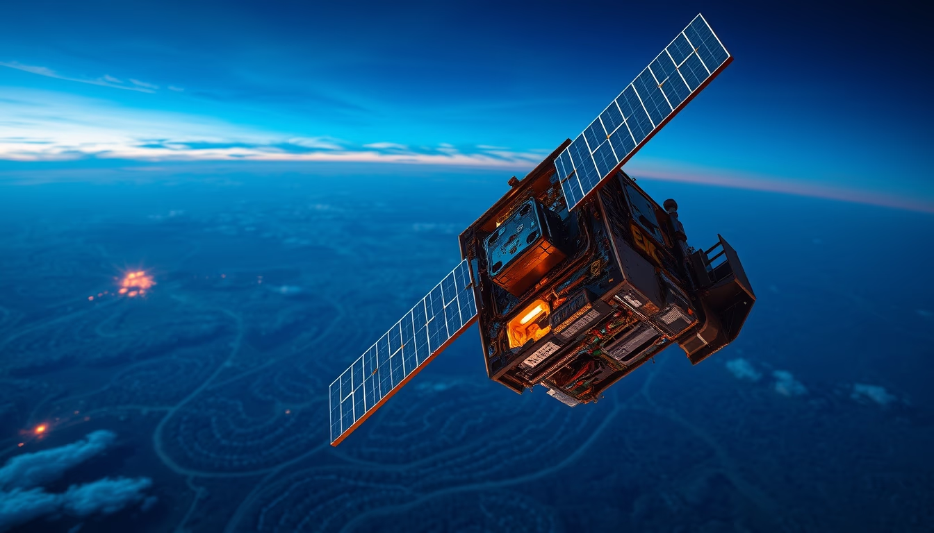
Satélites de observação da Terra são essenciais para monitorar o desmatamento na Amazônia, fornecendo dados precisos e em tempo real para ações de fiscalização.
Sobre o tema
O monitoramento do desmatamento na Amazônia depende fortemente de satélites de observação da Terra. Programas como o PRODES (Programa de Cálculo do Desflorestamento da Amazônia), do Instituto Nacional de Pesquisas Espaciais (INPE), utilizam imagens de satélites como Landsat (EUA) e CBERS (parceria Brasil-China) para detectar áreas desmatadas com resolução de até 30 metros. Desde a década de 1980, esses dados têm sido fundamentais para quantificar a perda de floresta e orientar políticas públicas.
Além do Landsat, satélites como o Sentinel-2 (Agência Espacial Europeia) e o Terra/Aqua (NASA) oferecem imagens multiespectrais que permitem diferenciar floresta nativa de pastagens ou cultivos. O sistema DETER (Detecção do Desmatamento em Tempo Real), também do INPE, emite alertas diários com base em satélites como o Terra e o Aqua, possibilitando ações rápidas de fiscalização do Ibama. Em 2023, o governo brasileiro anunciou o uso do satélite Amazônia-1, primeiro satélite de observação totalmente brasileiro, lançado em 2021, para reforçar o monitoramento.
A eficácia desse monitoramento depende da frequência de imageamento e da resolução espacial. Satélites em órbitas polares passam sobre a Amazônia a cada 16 dias (Landsat) ou 5 dias (Sentinel-2), enquanto satélites geoestacionários acompanham áreas maiores continuamente. No entanto, a cobertura de nuvens na região amazônica limita a obtenção de imagens ópticas, sendo necessário o uso de radares de abertura sintética (SAR), como o do satélite ALOS-2 (JAXA), que penetram as nuvens. Dados recentes indicam que, entre 2004 e 2012, o desmatamento caiu 80% graças ao monitoramento por satélite e à fiscalização intensificada, mas voltou a subir nos últimos anos, destacando a importância contínua dessas tecnologias.
Perguntas frequentes
Quais satélites são usados para monitorar o desmatamento na Amazônia?
Os principais satélites incluem o Landsat (EUA), Sentinel-2 (Europa), Terra/Aqua (NASA), CBERS (Brasil-China) e o Amazônia-1 (Brasil). O INPE utiliza dados desses satélites nos sistemas PRODES e DETER.
Como a cobertura de nuvens afeta o monitoramento por satélite na Amazônia?
Nuvens bloqueiam a visão de satélites ópticos, especialmente na estação chuvosa. Para contornar isso, usa-se radar de abertura sintética (SAR), como o do ALOS-2, que 'enxerga' através das nuvens.
Qual a precisão dos dados de desmatamento obtidos por satélite?
Satélites como Landsat têm resolução de 30 metros, permitindo detectar desmatamentos a partir de 0,5 hectare. O PRODES mapeia desmatamentos anuais com 95% de acurácia, enquanto o DETER alerta para mudanças diárias com resolução de 250 metros.
URL direta
https://pub-c7d6a6ea828543ac903a74a341ccb2e1.r2.dev/imagens/amazon-deforestation-satellite-long-exposure-fresh10.avifComo creditar
Inclua um link visível de volta pro UtilizAí. Copie um dos snippets abaixo:
<a href="https://xn--utiliza-eza.com/midia/imagens/amazon-deforestation-satellite-long-exposure-fresh10">Amazon deforestation satellite</a> by <a href="https://xn--utiliza-eza.com">UtilizAí</a>, licensed under <a href="https://creativecommons.org/licenses/by/4.0/">CC BY 4.0</a>.
[Amazon deforestation satellite](https://xn--utiliza-eza.com/midia/imagens/amazon-deforestation-satellite-long-exposure-fresh10) by [UtilizAí](https://xn--utiliza-eza.com), CC BY 4.0
Licença: CC-BY-4.0





