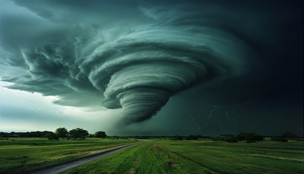
Tornado supercell storm
1344×768 · AVIF · CC BY 4.0
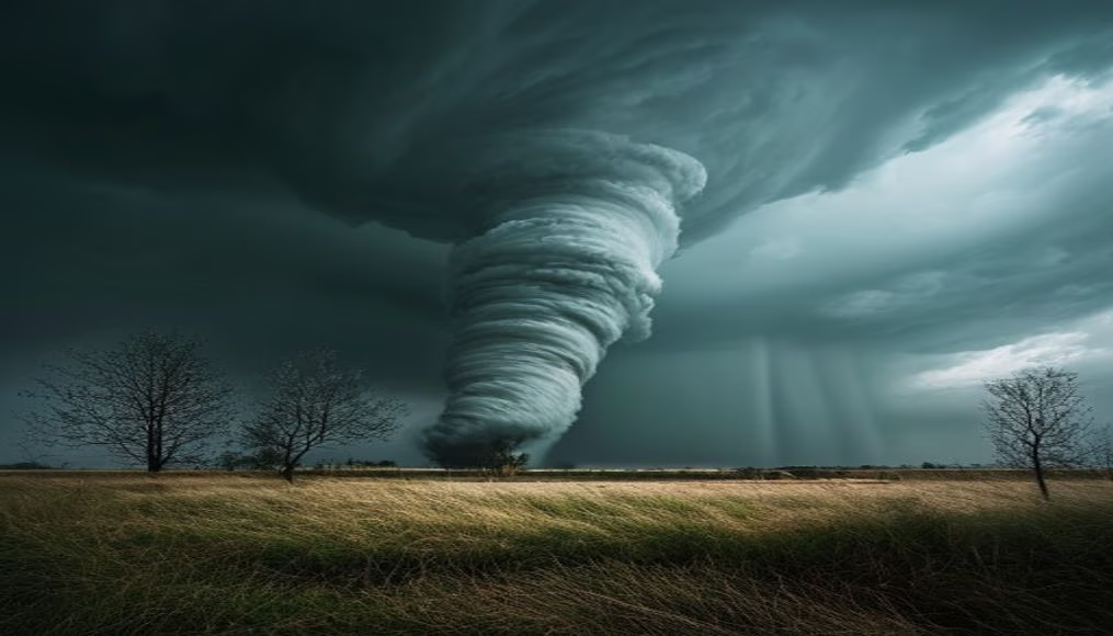
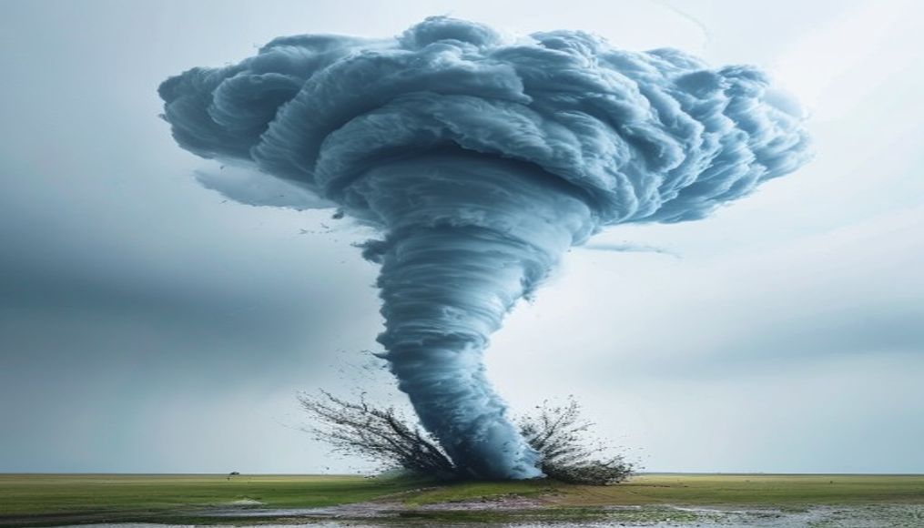
Supercell tornadoes are severe rotating storms, common in the US, combining atmospheric instability and wind shear to produce devastating phenomena.
About this subject
Supercell tornadoes are the most intense type of convective storm, characterized by a rotating updraft called a mesocyclone. These storms form in environments with strong vertical wind shear and high instability, conditions typical of the central United States known as Tornado Alley. Although Brazil also records tornadoes, such as those in Santa Catarina and Rio Grande do Sul, their frequency and intensity are lower due to local geography and atmospheric dynamics.
The structure of a supercell includes a parent cumulonimbus cloud reaching up to 20 km in altitude, with a low cloud base and rotation visible on weather radar. The tornado itself forms from a vortex inside the storm, potentially touching the ground and causing catastrophic damage. Winds can exceed 300 km/h on the Enhanced Fujita scale (EF-5), capable of tearing houses from foundations and tossing vehicles over long distances.
Historically, the deadliest tornado was the 1925 Tri-State Tornado, which traveled 352 km through Missouri, Illinois, and Indiana, killing 695 people. In Brazil, the Indaiatuba (SP) tornado in 2005 reached F3 class, with estimated winds of 200 km/h, causing destruction in urban areas. Tornado forecasting remains challenging: advances in Doppler radar and numerical models allow warnings minutes in advance, but accuracy depends on factors like topography and local instability.
Recent studies indicate that climate change may alter the frequency and distribution of supercells, potentially increasing tornadoes in previously less affected regions. Public awareness and warning systems using sirens and mobile notifications are essential to mitigate risks. Understanding the dynamics of these storms helps communities prepare adequately.
Frequently Asked Questions
What distinguishes a supercell from other storms?
A supercell has a mesocyclone, a rotating updraft that makes it more organized and persistent, capable of producing violent tornadoes, large hail, and straight-line winds. It is the only storm with sustained internal rotation.
Does Brazil have supercell tornadoes?
Yes, but they are less frequent and intense than in the US. Notable cases include the F3 tornado in Indaiatuba (SP) in 2005 and one in Santa Catarina in 2009. Formation is favored in the South and Southeast, especially between spring and summer.
How can you visually identify a supercell?
Look for dark clouds with a low, rotating base, often with a wall cloud. They may feature hail, heavy rain, and in extreme cases, a funnel or visible tornado. Weather radar is the most reliable tool for identification.
Direct URL
https://pub-c7d6a6ea828543ac903a74a341ccb2e1.r2.dev/imagens/tornado-supercell-storm-minimalist-composition-p1.avifHow to credit
Include a visible link back to UtilizAí. Copy one of the snippets below:
<a href="https://xn--utiliza-eza.com/en/midia/imagens/tornado-supercell-storm-minimalist-composition-p1">Tornado supercell storm</a> by <a href="https://xn--utiliza-eza.com">UtilizAí</a>, licensed under <a href="https://creativecommons.org/licenses/by/4.0/">CC BY 4.0</a>.
[Tornado supercell storm](https://xn--utiliza-eza.com/en/midia/imagens/tornado-supercell-storm-minimalist-composition-p1) by [UtilizAí](https://xn--utiliza-eza.com), CC BY 4.0
License: CC-BY-4.0