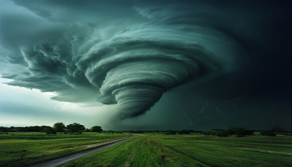
Tornado supercélula storm
1344×768 · JPG · CC BY 4.0
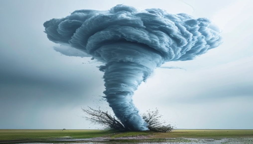
Tornados supercélula são os mais intensos e perigosos, com fluxos ascendentes rotativos que podem gerar destruição massiva.
Sobre o tema
Uma supercélula é um tipo de tempestade caracterizada por uma corrente ascendente rotativa e persistente chamada mesociclone. Essas tempestades são as mais propensas a produzir tornados violentos, especialmente aqueles classificados como EF2 ou superior na escala Fujita Aprimorada. A formação de um tornado ocorre quando o mesociclone se estende até o solo, criando um funil de nuvem que, ao tocar a superfície, suga poeira e detritos. As condições ideais incluem forte cisalhamento do vento e instabilidade atmosférica, comuns nas Grandes Planícies dos Estados Unidos, mas também ocorrem em outras regiões como o sul do Brasil.
A escala Fujita Aprimorada (EF) classifica tornados de EF0 (fraco) a EF5 (devastador). Tornados supercélula EF5 podem atingir velocidades de vento superiores a 320 km/h, arrasando construções e arrancando árvores. Um exemplo notável foi o tornado de Joplin (2011), que matou 158 pessoas. No Brasil, tornados são menos frequentes, mas eventos como o tornado de Indaiatuba (2005) e o de São Paulo (2019) destacam a ocorrência desses fenômenos no país.
A previsão de supercélulas e tornados depende de radares meteorológicos e modelos numéricos. O National Weather Service emite alertas com base na detecção de mesociclones. Apesar dos avanços, a imprevisibilidade ainda desafia meteorologistas, especialmente em áreas de baixa densidade de radar. A conscientização pública e a construção de abrigos seguros são as principais defesas contra esses eventos extremos.
Curiosamente, tornados supercélula não se formam apenas em terra; há registros de trombas d'água (waterspouts) com características similares, que ocorrem sobre corpos d'água. Em regiões tropicais, a rotação é menos comum, mas tempestades supercélulas podem ocorrer em diversos climas, desde que as condições de cisalhamento sejam favoráveis.
Perguntas frequentes
Qual a diferença entre uma supercélula e uma tempestade comum?
Uma supercélula possui uma corrente ascendente rotativa (mesociclone) que a torna mais organizada e duradoura, geralmente produzindo granizo grande, ventos fortes e tornados. Tempestades comuns não têm essa rotação persistente.
Onde os tornados supercélula são mais comuns?
São mais frequentes nas Grandes Planícies dos EUA (região conhecida como Tornado Alley), mas podem ocorrer em outros lugares como sul do Brasil, Argentina e Europa.
Como identificar uma supercélula no céu?
Uma supercélula geralmente parece uma nuvem escura e baixa com uma base rotativa (nuvem de parede). Pode apresentar uma borda nítida e, às vezes, um funil descendente. A aproximação de granizo e ventos fortes também são sinais.
URL direta
https://pub-c7d6a6ea828543ac903a74a341ccb2e1.r2.dev/imagens/tornado-supercell-storm-commercial-product-photography-p4.jpgComo creditar
Inclua um link visível de volta pro UtilizAí. Copie um dos snippets abaixo:
<a href="https://xn--utiliza-eza.com/midia/imagens/tornado-supercell-storm-commercial-product-photography-p4">Tornado supercélula storm</a> by <a href="https://xn--utiliza-eza.com">UtilizAí</a>, licensed under <a href="https://creativecommons.org/licenses/by/4.0/">CC BY 4.0</a>.
[Tornado supercélula storm](https://xn--utiliza-eza.com/midia/imagens/tornado-supercell-storm-commercial-product-photography-p4) by [UtilizAí](https://xn--utiliza-eza.com), CC BY 4.0
Licença: CC-BY-4.0