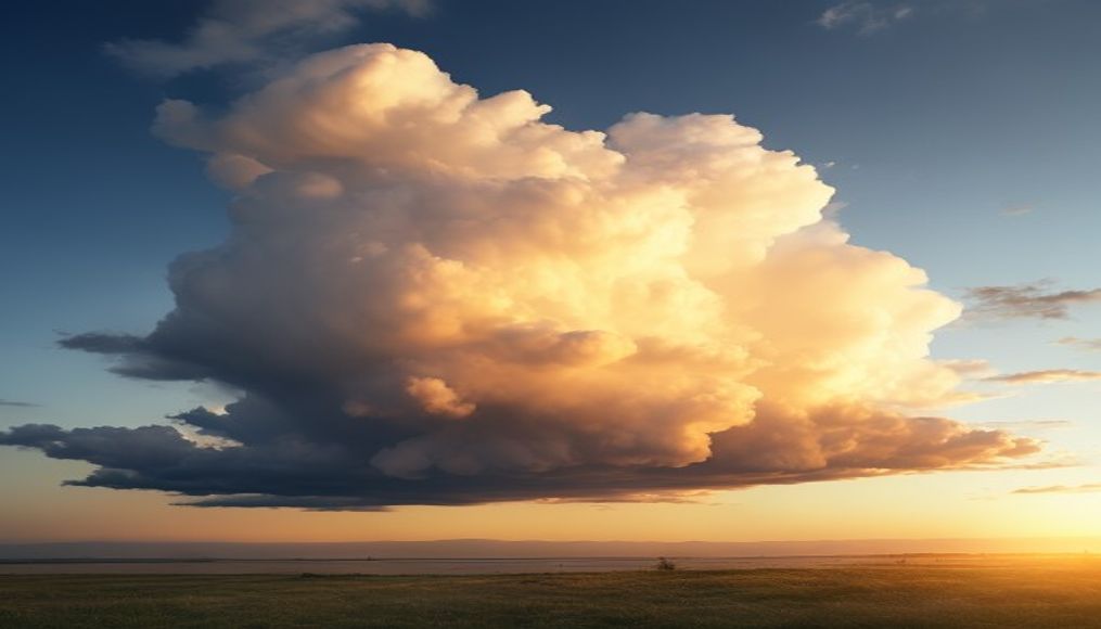
Mammatus cloud bottoms
1344×768 · AVIF · CC BY 4.0
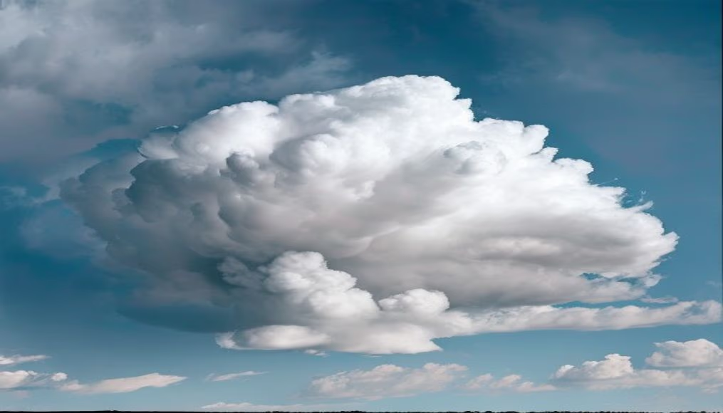
Mammatus clouds are pouch-like formations created by descending cold air, often linked to severe storms and unstable atmospheres.
About this subject
Mammatus clouds are distinctive pouch-like formations that hang from the base of a cloud, typically a cumulonimbus. They form when cold, moist air descends within the cloud, creating pockets of air that protrude downward. Although often associated with severe storms, such as tornadoes and hail, mammatus clouds themselves are not dangerous, but they indicate strong atmospheric instability and turbulence.
These formations can stretch across hundreds of kilometers, with each pouch ranging from 1 to 3 kilometers in diameter. Despite their solid appearance, mammatus clouds are composed of water droplets or ice crystals and can last from minutes to hours. The phenomenon is most common in plains regions, such as the central United States, but can occur anywhere with intense thunderstorms.
In Brazil, mammatus clouds are mainly observed during summer when convective storms are frequent. Meteorologists use them as a visual sign that the storm is in the dissipating stage, though strong winds may still be present. Photographically, mammatus clouds are highly prized for their dramatic and surreal appearance, especially at sunset when they take on orange or reddish hues.
A curiosity: the name "mammatus" comes from the Latin "mamma," meaning "breast" or "udder," due to the shape of the protuberances. Although not fully understood, their formation is believed to require a temperature inversion at the cloud base and the presence of cold downdrafts. Recent studies have used computer simulations to model the dynamics of mammatus clouds, revealing that they can be influenced by solar radiation and relative humidity.
Frequently Asked Questions
What are mammatus clouds?
Mammatus clouds are pouch-like formations that hang from the base of a cloud, often associated with severe storms. They consist of water droplets or ice crystals and indicate strong atmospheric instability.
Do mammatus clouds indicate a tornado?
Not necessarily. Although common in severe storms, mammatus are not direct predictors of tornadoes. They suggest the storm is dissipating, but the atmosphere may still be turbulent.
How do mammatus clouds form?
They form when cold, moist air descends within the cloud, creating pockets that protrude downward. This requires a temperature inversion at the cloud base and cold downdrafts.
Direct URL
https://pub-c7d6a6ea828543ac903a74a341ccb2e1.r2.dev/imagens/mammatus-cloud-bottoms-documentary-photography-p3.avifHow to credit
Include a visible link back to UtilizAí. Copy one of the snippets below:
<a href="https://xn--utiliza-eza.com/en/midia/imagens/mammatus-cloud-bottoms-documentary-photography-p3">Mammatus cloud bottoms</a> by <a href="https://xn--utiliza-eza.com">UtilizAí</a>, licensed under <a href="https://creativecommons.org/licenses/by/4.0/">CC BY 4.0</a>.
[Mammatus cloud bottoms](https://xn--utiliza-eza.com/en/midia/imagens/mammatus-cloud-bottoms-documentary-photography-p3) by [UtilizAí](https://xn--utiliza-eza.com), CC BY 4.0
License: CC-BY-4.0