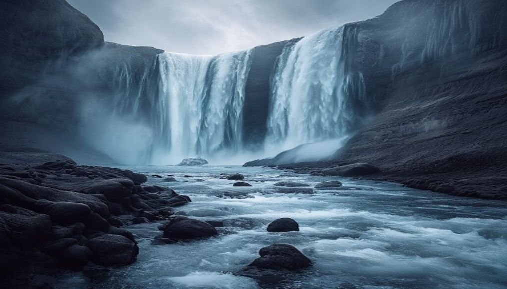
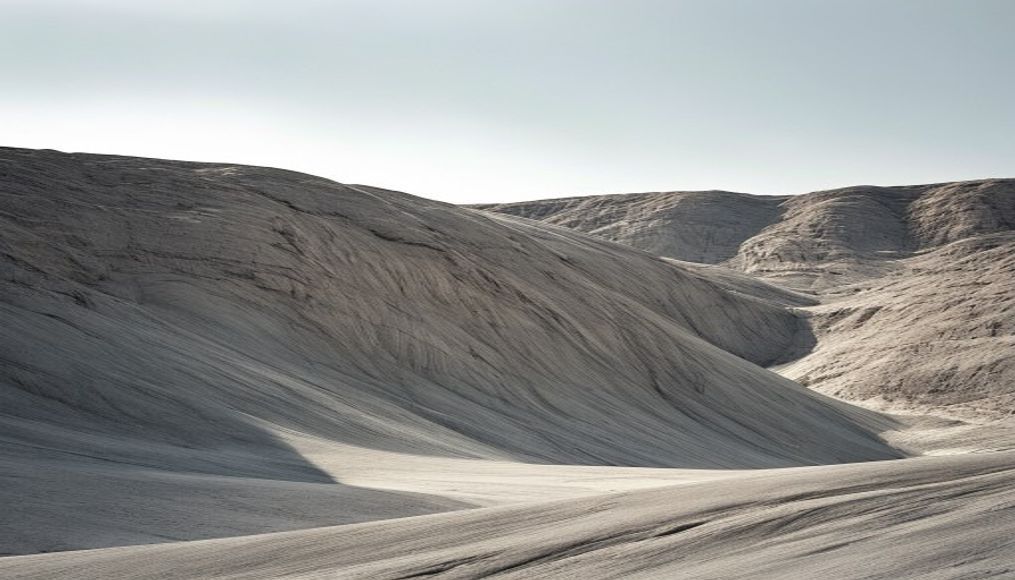
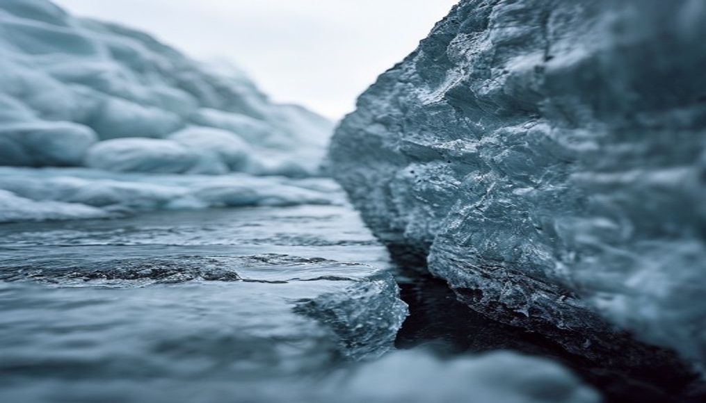
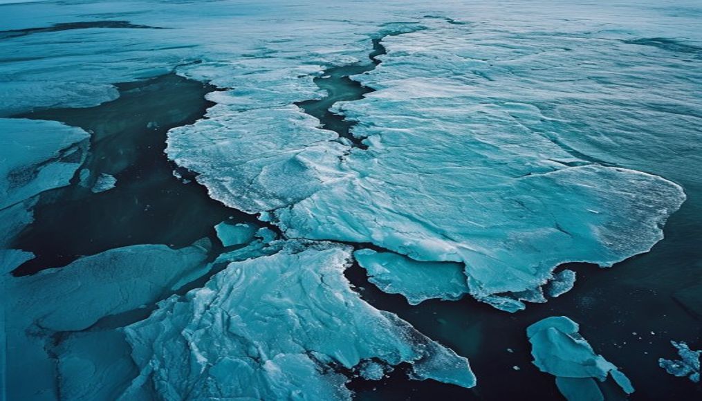
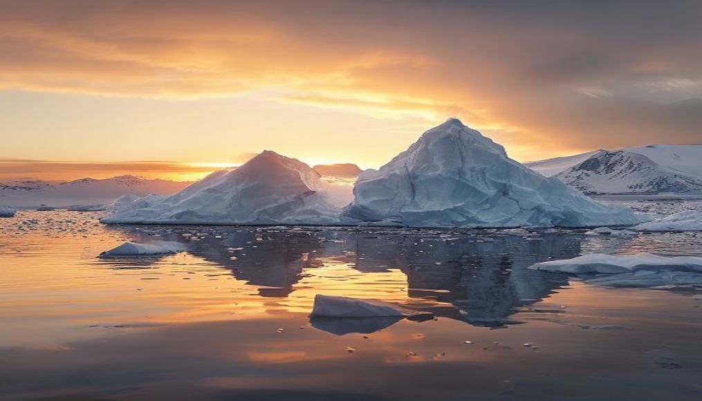
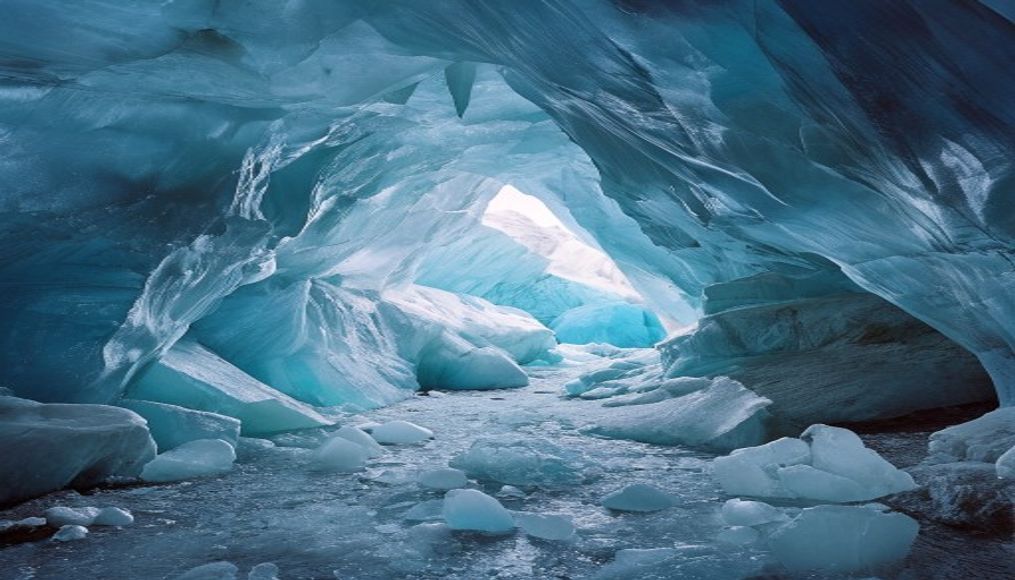
Greenland ice sheet aerial
1344×768 · AVIF · CC BY 4.0
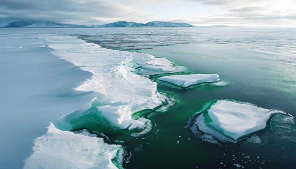
The Greenland ice sheet, the second largest in the world, covers 1.7 million km² and holds enough water to raise global sea levels by over 7 meters.
About this subject
The Greenland ice sheet is one of the two permanent ice masses on Earth, alongside Antarctica. It has an average thickness of about 1.6 km, reaching up to 3 km, and covers 80% of the island's surface. Formation began at least 130,000 years ago as snowfall compacted into ice over millennia.
Melting of this ice sheet is accelerating due to global warming. According to NASA, between 2002 and 2021, the average annual ice loss was roughly 280 billion tons, contributing about 0.7 mm per year to sea-level rise. This process not only raises oceans but also alters salinity and ocean currents, impacting ecosystems and regional climates.
Scientists monitor the ice sheet's health via satellites and on-site measurements. If all the ice melted, global sea levels would rise by about 7.4 meters. The Greenland Ice Sheet Project (GRIP) has drilled ice cores providing climate records spanning over 100,000 years, helping understand past changes and predict future scenarios.
The ice sheet's importance extends beyond climate. It influences ocean circulation, planetary albedo, and local biodiversity. Indigenous communities and scientists collaborate to understand and mitigate warming impacts in a region warming twice as fast as the global average.
Frequently Asked Questions
Why is the Greenland ice sheet important for global climate?
It stores a vast amount of freshwater and reflects solar radiation (albedo). Its melting raises sea levels and alters ocean currents, impacting weather patterns worldwide.
How much ice does Greenland lose annually?
Currently, the average loss is about 280 billion tons per year, according to NASA measurements, accelerating in recent decades due to Arctic warming.
What is the maximum thickness of the ice sheet?
The maximum thickness is approximately 3 km, located in the center of the island. The average thickness is around 1.6 km.
Direct URL
https://pub-c7d6a6ea828543ac903a74a341ccb2e1.r2.dev/imagens/greenland-ice-sheet-aerial-documentary-photography-p1.avifHow to credit
Include a visible link back to UtilizAí. Copy one of the snippets below:
<a href="https://xn--utiliza-eza.com/en/midia/imagens/greenland-ice-sheet-aerial-documentary-photography-p1">Greenland ice sheet aerial</a> by <a href="https://xn--utiliza-eza.com">UtilizAí</a>, licensed under <a href="https://creativecommons.org/licenses/by/4.0/">CC BY 4.0</a>.
[Greenland ice sheet aerial](https://xn--utiliza-eza.com/en/midia/imagens/greenland-ice-sheet-aerial-documentary-photography-p1) by [UtilizAí](https://xn--utiliza-eza.com), CC BY 4.0
License: CC-BY-4.0