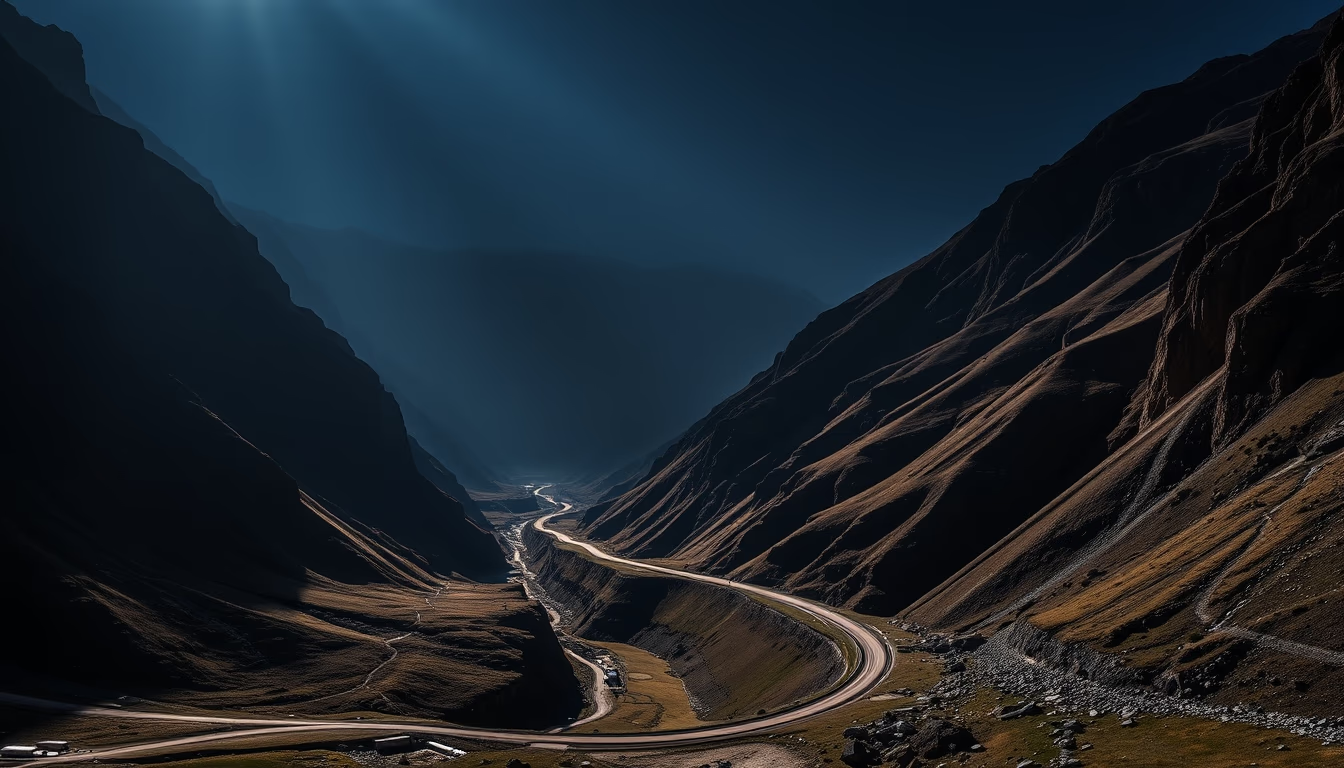
Transfagarasan romania
1344×768 · AVIF · CC BY 4.0
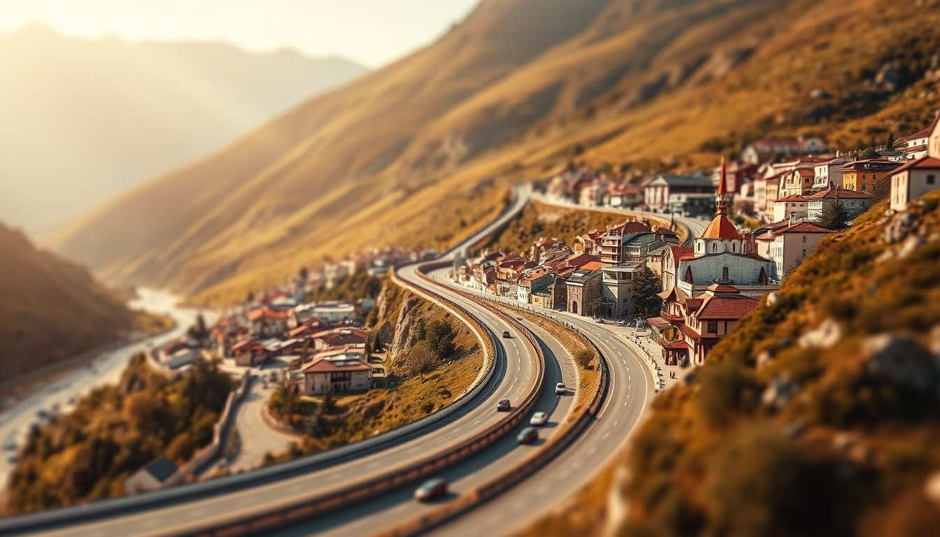
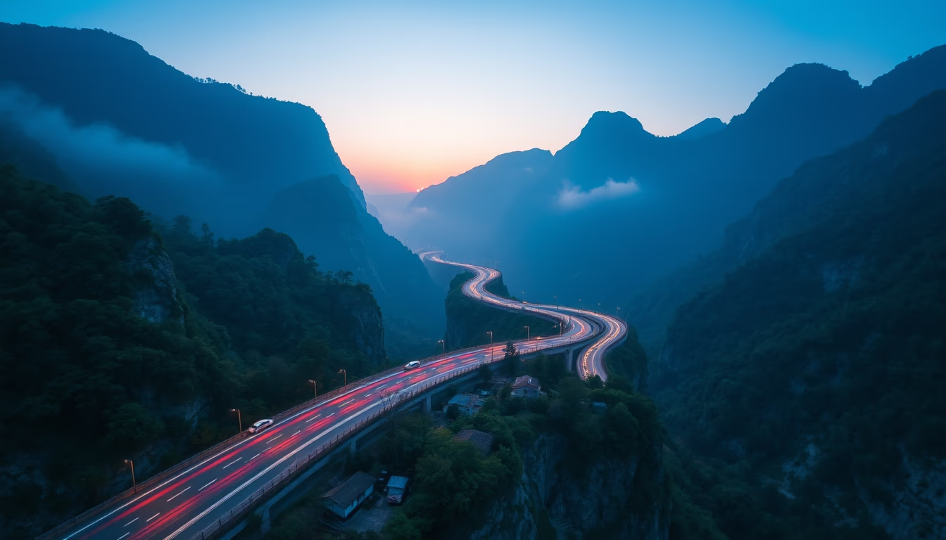
The Transfagarasan Highway in Romania is one of the world's most spectacular roads, carving through the Southern Carpathians with curves and tunnels.
About this subject
The Transfagarasan, officially DN7C, is a mountain highway crossing the Southern Carpathians, linking the historical regions of Transylvania and Wallachia. Built between 1970 and 1974 under dictator Nicolae Ceaușescu, the road was designed as a strategic military route to ensure rapid access across the mountains in case of a Soviet invasion. Its most famous stretch, between Curtea de Argeș and Sibiu, is 90 km long, featuring tight curves, viaducts, and the Capra Tunnel, the longest in Romania at 887 meters.
The road reaches its highest point at Bâlea Lake, 2,042 meters above sea level, where a cable car takes visitors to the alpine landscape. The highway is seasonal, usually open from June to October due to heavy snow. Along the route, there are viewpoints such as Capra Waterfall and the medieval fortress of Poienari, linked to the legendary Vlad the Impaler. The Transfagarasan was immortalized in the British automotive show Top Gear, whose hosts described it as "the best road in the world."
The Carpathian region hosts rich biodiversity, with beech and coniferous forests, and species such as brown bears, lynxes, and wolves. The road's construction cost millions of man-hours and workers' lives, but today it is a vital tourist magnet for Romania. Cyclists, motorcyclists, and drivers from around the world take on its 60 sharp curves for panoramic views of the Argeș Valley. The name "Transfagarasan" derives from the Făgăraș Mountains, the range it crosses.
Frequently Asked Questions
When was the Transfagarasan built?
Construction took place between 1970 and 1974 under Nicolae Ceaușescu's regime as a strategic military route.
Is the Transfagarasan open all year?
No, due to snow, the road is typically open from June to October. It is closed to vehicles outside this period.
What is the highest point of the highway?
Bâlea Lake, at 2,042 meters above sea level, is the highest point, featuring a cable car and alpine scenery.
Direct URL
https://pub-c7d6a6ea828543ac903a74a341ccb2e1.r2.dev/imagens/transfagarasan-romania-tilt-shift-miniature-fresh17.avifHow to credit
Include a visible link back to UtilizAí. Copy one of the snippets below:
<a href="https://xn--utiliza-eza.com/en/midia/imagens/transfagarasan-romania-tilt-shift-miniature-fresh17">Transfagarasan romania</a> by <a href="https://xn--utiliza-eza.com">UtilizAí</a>, licensed under <a href="https://creativecommons.org/licenses/by/4.0/">CC BY 4.0</a>.
[Transfagarasan romania](https://xn--utiliza-eza.com/en/midia/imagens/transfagarasan-romania-tilt-shift-miniature-fresh17) by [UtilizAí](https://xn--utiliza-eza.com), CC BY 4.0
License: CC-BY-4.0