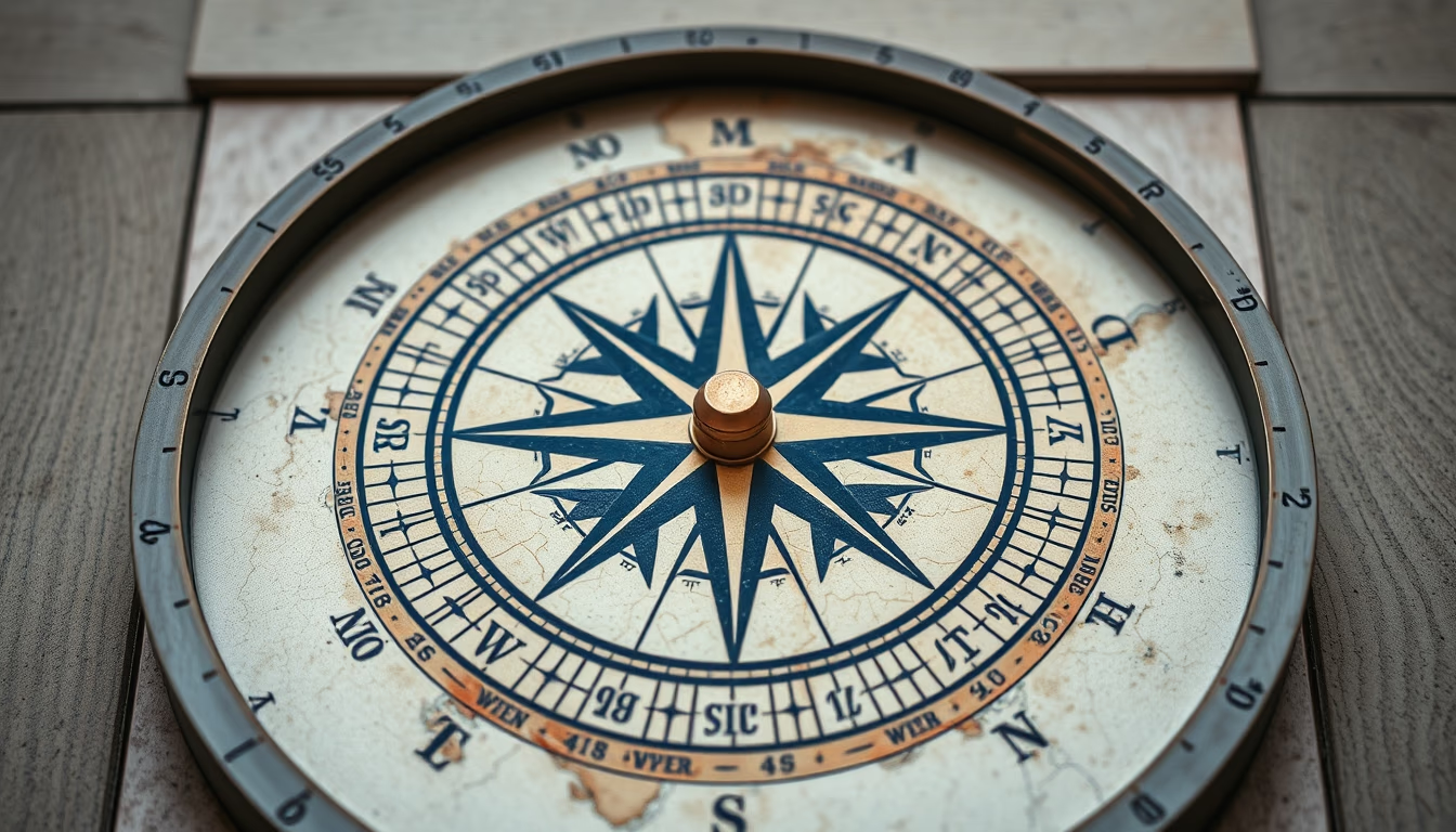
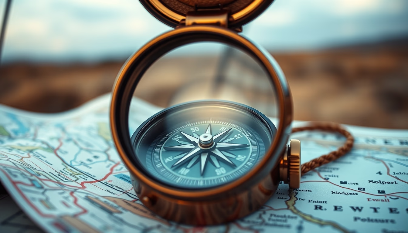
Compass on map outdoor
1344×768 · AVIF · CC BY 4.0
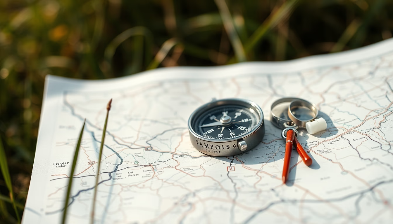
Discover how using a compass on outdoor maps is essential for trail navigation, geographic orientation, and activities like trekking and geocaching.
About this subject
The compass is one of the oldest and most reliable navigation instruments, invented in China during the Han dynasty (2nd century BC). Originally used for divination, it soon became indispensable for maritime navigation and land exploration. When combined with a topographic map, a compass allows you to determine the correct direction and avoid getting lost in natural environments, even without GPS signal.
To use a compass with a map, you need to understand magnetic declination: the difference between magnetic north (pointed by the needle) and true north (geographic). Modern maps indicate local declination, which must be adjusted each time you use it. The process involves orienting the map so that map north aligns with magnetic north of the compass, then taking bearings to landmarks or destinations.
Despite advances in GPS devices, the compass remains relevant because it doesn't rely on batteries or satellite signal. In activities such as orienteering (an Olympic sport), geocaching, and long expeditions, it is a mandatory safety item. The minimalist design of a traditional compass, with a transparent baseplate and scale ruler, makes it easy to integrate with folded maps, being lightweight and compact.
For beginners, it is recommended to practice in familiar areas before venturing onto unknown trails. Learning to read cartographic symbols such as contour lines and water sources is crucial, as is always checking the batteries of flashlights and whistles. Combining a compass and map is a skill that can save lives.
Frequently Asked Questions
What is the difference between magnetic north and true north?
Magnetic north is where the compass needle points, varying with Earth's magnetic field. True north is the fixed geographic North Pole. The difference is called magnetic declination and changes depending on location.
How do you use a compass with a map?
First, adjust the declination on the map or compass. Then orient the map by aligning map north with compass north. Rotate the map until the needle points to map north. Finally, measure the angle from your starting point to the destination to follow the bearing.
Why is the compass still important with GPS?
GPS can fail due to dead batteries, obstructed signals, or device damage. A compass requires no electronics, is lightweight, durable, and reliable in any weather. It is an essential safety item for outdoor expeditions.
Direct URL
https://pub-c7d6a6ea828543ac903a74a341ccb2e1.r2.dev/imagens/compass-on-map-outdoor-minimalist-composition-p0.avifHow to credit
Include a visible link back to UtilizAí. Copy one of the snippets below:
<a href="https://xn--utiliza-eza.com/en/midia/imagens/compass-on-map-outdoor-minimalist-composition-p0">Compass on map outdoor</a> by <a href="https://xn--utiliza-eza.com">UtilizAí</a>, licensed under <a href="https://creativecommons.org/licenses/by/4.0/">CC BY 4.0</a>.
[Compass on map outdoor](https://xn--utiliza-eza.com/en/midia/imagens/compass-on-map-outdoor-minimalist-composition-p0) by [UtilizAí](https://xn--utiliza-eza.com), CC BY 4.0
License: CC-BY-4.0