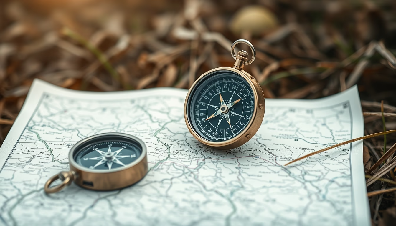
Compass map outdoor
1344×768 · AVIF · CC BY 4.0
The compass and map are essential tools for navigation on trails and remote areas, ensuring safety and orientation even without GPS signal.
About this subject
In outdoor survival and exploration, the combination of a compass and a map remains the most reliable navigation method. Unlike electronic devices that can fail due to dead batteries or loss of signal, a magnetic compass always points north as long as Earth's magnetic field exists. Topographic maps provide details such as contour lines, water bodies, and vegetation, enabling users to plan routes and identify landmarks.
Proper compass use requires basic knowledge of magnetic declination, which is the difference between magnetic north indicated by the needle and true north on maps. In Brazil, this variation can reach up to 20 degrees in some regions, making it crucial to adjust for accurate navigation. Techniques like triangulation, which uses two or more landmarks to pinpoint exact location, are taught in land navigation courses and widely used by adventurers.
Historically, the compass was invented in China during the Han dynasty, initially used for divination and later for maritime navigation. Its portable version became popular in Europe from the 12th century, revolutionizing explorations. Modern maps have evolved with digital cartography, but paper maps are preferred outdoors for their water resistance and independence from batteries.
In emergency situations, knowing how to read a map and use a compass can mean the difference between getting lost and finding your way back. Survival experts therefore recommend always carrying these items, even on short hikes, and practicing their use before relying solely on technology.
Frequently Asked Questions
How to use a compass for trail navigation?
First, align the compass with the map's magnetic north by adjusting declination. Then rotate the map until the compass needle points to the map's north. Choose a distant landmark and walk in the direction indicated by the direction arrow.
What is the difference between magnetic north and true north?
Magnetic north is where the compass needle points, which slowly moves over time. True north is the geographic North Pole, fixed on maps. The difference is called magnetic declination.
Why are topographic maps important for outdoor navigation?
They show terrain features like elevations, rivers, and forests, allowing safe route planning and landmark identification. Contour lines indicate slope steepness, essential to avoid hazardous or difficult areas.
Direct URL
https://pub-c7d6a6ea828543ac903a74a341ccb2e1.r2.dev/imagens/compass-map-outdoor-aerial-drone-shot-fresh16.avifHow to credit
Include a visible link back to UtilizAí. Copy one of the snippets below:
<a href="https://xn--utiliza-eza.com/en/midia/imagens/compass-map-outdoor-aerial-drone-shot-fresh16">Compass map outdoor</a> by <a href="https://xn--utiliza-eza.com">UtilizAí</a>, licensed under <a href="https://creativecommons.org/licenses/by/4.0/">CC BY 4.0</a>.
[Compass map outdoor](https://xn--utiliza-eza.com/en/midia/imagens/compass-map-outdoor-aerial-drone-shot-fresh16) by [UtilizAí](https://xn--utiliza-eza.com), CC BY 4.0
License: CC-BY-4.0